Topo Map and Compass Guide
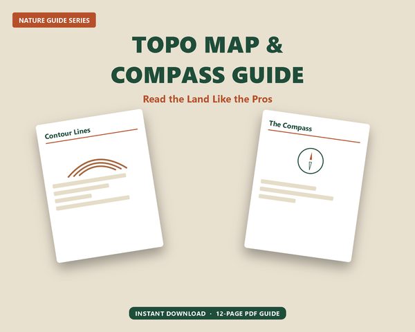
Topo Map and Compass Guide - Land Navigation Printable, Contour Lines & Compass Bearings Reference, Outdoor Hiking PDF
$14
Buy on Etsy — $14Never be lost again — a 12-page reference that teaches you to read a topo map and use a compass with confidence, no battery or cell signal required.
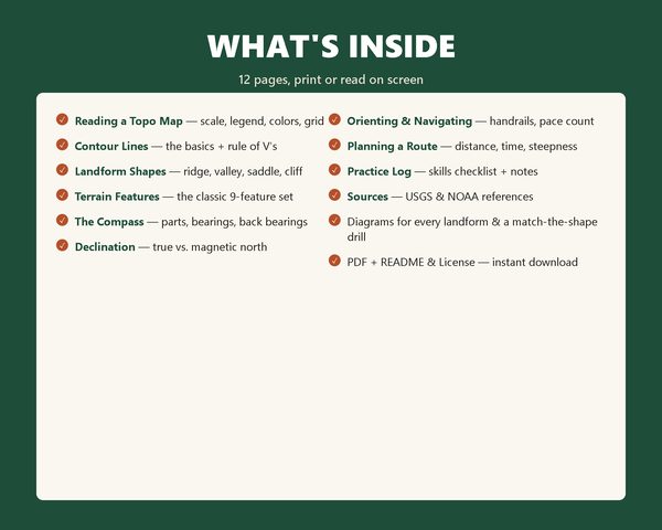
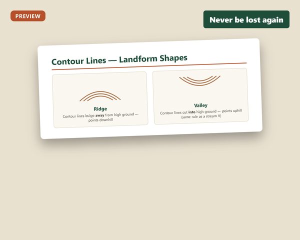
This guide breaks down the skill real hikers, hunters, and campers rely on: reading the shape of the land from contour lines, identifying every classic landform, taking and following a compass bearing, correcting for declination, and planning a route before you ever leave the trailhead. Clear diagrams for every landform (hill, ridge, saddle, valley, draw, spur, depression, cliff, cut/fill) plus a hands-on "match the shape" practice page and a skills checklist to work through in the field.
WHAT YOU GET
- Topo Map and Compass Guide.pdf — 12 pages: reading a topo map, contour lines & the rule of V's, landform shapes, the classic terrain-feature set, compass parts & bearings, declination, orienting & navigating, route planning (with Naismith's Rule), and a practice log
- README & License.pdf — 1 page, license terms and print tips
- Editable HTML source for every file (view/print from any browser)
This is a read-and-print reference guide (no fill-in fields) — open the PDF in any browser or PDF reader to view or print. Works on Windows and Mac.
Educational guide — sources cited on the final page (USGS, NOAA). Navigation is a practiced skill; this guide is educational and doesn't replace hands-on practice. Always carry appropriate safety equipment for your terrain and tell someone your route and expected return time before you head out.
Digital product — no refunds, no physical item shipped.